The Green near Rock House
Introduction
The photograph on this page of The Green near Rock House by David M Clark as part of the Geograph project.
The Geograph project started in 2005 with the aim of publishing, organising and preserving representative images for every square kilometre of Great Britain, Ireland and the Isle of Man.

There are currently over 7.5m images from over 14,400 individuals and you can help contribute to the project by visiting https://www.geograph.org.uk
The Green near Rock House
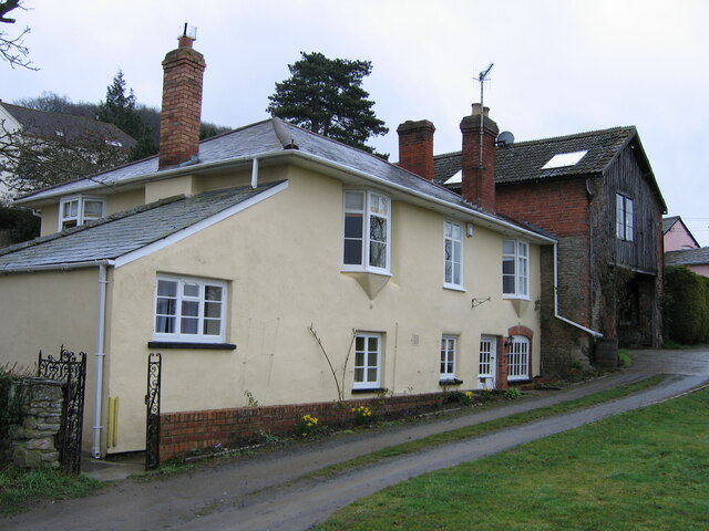
Image: © David M Clark Taken: 24 Mar 2006
Tucked away from the busy B4224, formed part of the Brewery complex in the late 18th and early 19th centuries.
Images are licensed for reuse under creativecommons.org/licenses/by-sa/2.0
Image Location
Latitude
52.015806
Longitude
-2.626666