Cae Meldon Crossroads
Introduction
The photograph on this page of Cae Meldon Crossroads by Luke Jones as part of the Geograph project.
The Geograph project started in 2005 with the aim of publishing, organising and preserving representative images for every square kilometre of Great Britain, Ireland and the Isle of Man.

There are currently over 7.5m images from over 14,400 individuals and you can help contribute to the project by visiting https://www.geograph.org.uk
Cae Meldon Crossroads
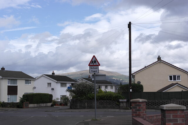
Image: © Luke Jones Taken: 23 Aug 2022
Crossroads at the bottom of the village of Gilwern just around the corner from the local primary school. The mountain Pen Cerrig-calch can be seen in the background.
Images are licensed for reuse under creativecommons.org/licenses/by-sa/2.0
Image Location
Latitude
51.830501
Longitude
-3.093835