West Mead, Rattery
Introduction
The photograph on this page of West Mead, Rattery by Derek Harper as part of the Geograph project.
The Geograph project started in 2005 with the aim of publishing, organising and preserving representative images for every square kilometre of Great Britain, Ireland and the Isle of Man.

There are currently over 7.5m images from over 14,400 individuals and you can help contribute to the project by visiting https://www.geograph.org.uk
West Mead, Rattery
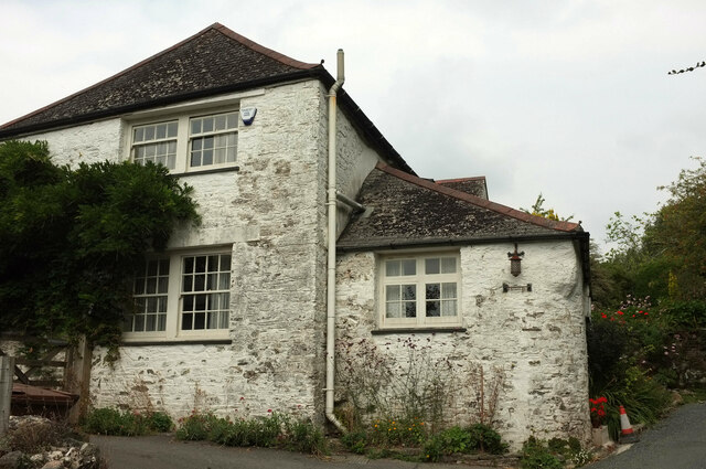
Image: © Derek Harper Taken: 1 Sep 2022
The south side of the listed house shown in Image https://historicengland.org.uk/listing/the-list/list-entry/1107393?section=official-list-entry Very tricky to get the whole building in one frame.
Images are licensed for reuse under creativecommons.org/licenses/by-sa/2.0
Image Location
Latitude
50.442224
Longitude
-3.774971