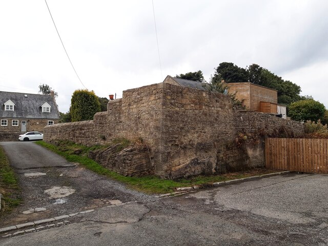
Rear wall of Tank House, Heddon on the Wall
Introduction
The photograph on this page of Rear wall of Tank House, Heddon on the Wall by Andrew Curtis as part of the Geograph project.
The Geograph project started in 2005 with the aim of publishing, organising and preserving representative images for every square kilometre of Great Britain, Ireland and the Isle of Man.
There are currently over 7.5m images from over 14,400 individuals and you can help contribute to the project by visiting https://www.geograph.org.uk

Image: © Andrew Curtis Taken: 4 Sep 2022
The old road runs in the foreground from left to right. This was the line of Wade's Military Road (constructed in the 1750s, mainly on the foundations of Hadrian's Wall) and later the course of the A69 from Newcastle to Carlisle. The road closed when the bypass was built. The line of the Wall here lies just south of the road (which perhaps had already been flattened by the village). We are close to the suspected location of Milecastle 12, although it has never been found. Recent archaeology has shown it wasn't in its measured position slightly further east. The road was widened in 1926. At the same time or perhaps earlier it was cut deep into sandstone bedrock (visible below the wall) to remove an unnecessary hill. As the milecastle wasn't revealed on the line of the Wall further east Image there is a high possibility that it was located somewhere on the hill in the back garden above the wall which marks the back garden of Tank House. There were old buildings here above the road, and it might of course have been completely destroyed.

