former Aberthaw Power Station
Introduction
The photograph on this page of former Aberthaw Power Station by Colin Cheesman as part of the Geograph project.
The Geograph project started in 2005 with the aim of publishing, organising and preserving representative images for every square kilometre of Great Britain, Ireland and the Isle of Man.

There are currently over 7.5m images from over 14,400 individuals and you can help contribute to the project by visiting https://www.geograph.org.uk
former Aberthaw Power Station
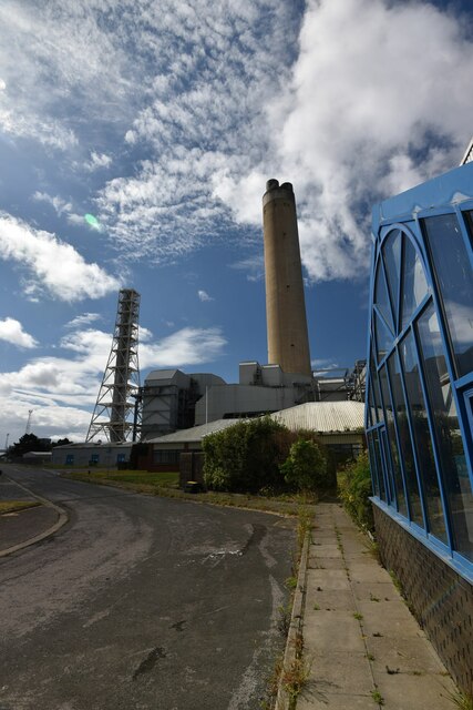
Image: © Colin Cheesman Taken: 29 Jun 2022
This is a view of the main stack of the former Aberthaw Power Station from just outside of what was the Administrative building. The power station, which started power generation from coal in 1960, finally closed in 2020. All you can see in the picturewill be demolished as a consortium of local councils seek to use the site for the generation and transmission of green energy.
Images are licensed for reuse under creativecommons.org/licenses/by-sa/2.0
Image Location
Latitude
51.387222
Longitude
-3.404863