Branch Line of the Blyth & Tyne Line
Introduction
The photograph on this page of Branch Line of the Blyth & Tyne Line by Kevin Richardson as part of the Geograph project.
The Geograph project started in 2005 with the aim of publishing, organising and preserving representative images for every square kilometre of Great Britain, Ireland and the Isle of Man.

There are currently over 7.5m images from over 14,400 individuals and you can help contribute to the project by visiting https://www.geograph.org.uk
Branch Line of the Blyth & Tyne Line
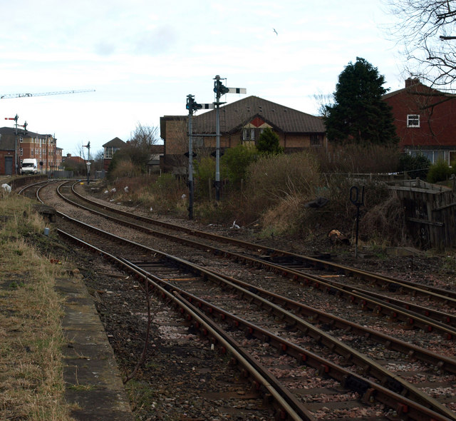
Image: © Kevin Richardson Taken: 16 Mar 2008
Blyth & Tyne Branch Line looking toward disused Railway Station at Bedlington Station. Much information on this station and the associated railway lines, maps of the area and pictures of the station in use can be found at http://www.disused-stations.org.uk/b/bedlington/index.shtml
Images are licensed for reuse under creativecommons.org/licenses/by-sa/2.0
Image Location
Latitude
55.140233
Longitude
-1.568734