A walk through Harrison's Plantation (7)
Introduction
The photograph on this page of A walk through Harrison's Plantation (7) by Kate Jewell as part of the Geograph project.
The Geograph project started in 2005 with the aim of publishing, organising and preserving representative images for every square kilometre of Great Britain, Ireland and the Isle of Man.

There are currently over 7.5m images from over 14,400 individuals and you can help contribute to the project by visiting https://www.geograph.org.uk
A walk through Harrison's Plantation (7)
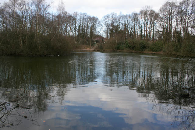
Image: © Kate Jewell Taken: 11 Mar 2008
Raleigh Pond is at the eastern end of Harrison's Plantation. It is a tranquil spot in the midst of the busy Nottingham suburb of Wollaton. Previous image Image, next image Image
Images are licensed for reuse under creativecommons.org/licenses/by-sa/2.0
Image Location
Latitude
52.957807
Longitude
-1.210256