Cymric Mill on Lower Canal Road
Introduction
The photograph on this page of Cymric Mill on Lower Canal Road by Richard Law as part of the Geograph project.
The Geograph project started in 2005 with the aim of publishing, organising and preserving representative images for every square kilometre of Great Britain, Ireland and the Isle of Man.

There are currently over 7.5m images from over 14,400 individuals and you can help contribute to the project by visiting https://www.geograph.org.uk
Cymric Mill on Lower Canal Road
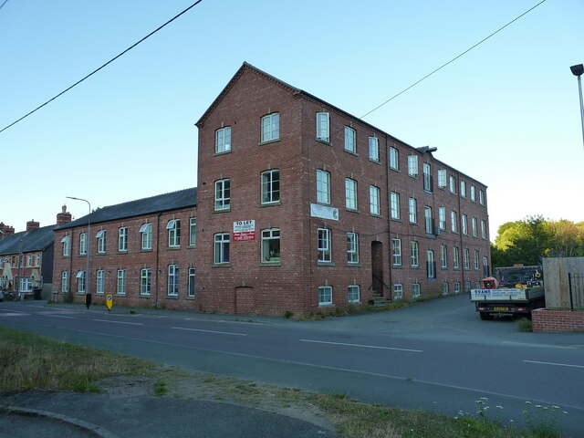
Image: © Richard Law Taken: 9 Jul 2022
One of the remaining former tweed mills of Newtown, which was converted to flats several years ago. The former millworkers' houses to the left were restored around the same time. Beyond those lies the quite imposing Image of the late 19th century.
Images are licensed for reuse under creativecommons.org/licenses/by-sa/2.0
Image Location
Latitude
52.518221
Longitude
-3.305525