Civic Close
Introduction
The photograph on this page of Civic Close by Ian Capper as part of the Geograph project.
The Geograph project started in 2005 with the aim of publishing, organising and preserving representative images for every square kilometre of Great Britain, Ireland and the Isle of Man.

There are currently over 7.5m images from over 14,400 individuals and you can help contribute to the project by visiting https://www.geograph.org.uk
Civic Close
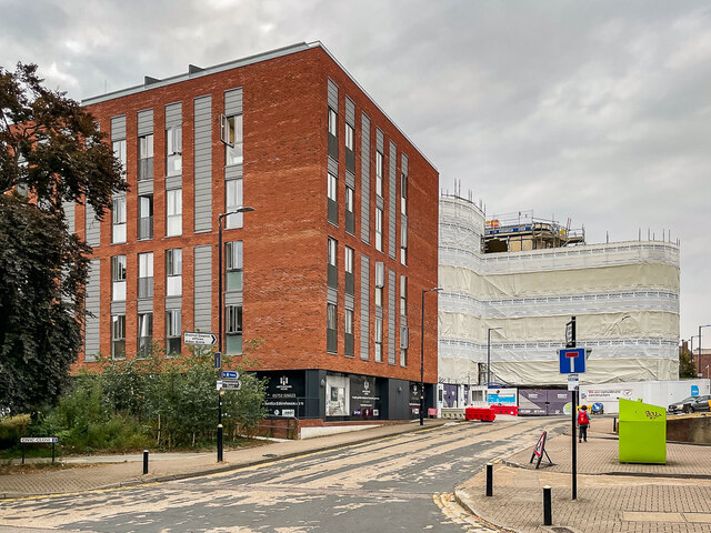
Image: © Ian Capper Taken: 21 Jul 2022
Looking up Civic Close, with Hertfordshire House on the left and part of the CCOS South development beyond. CCOS South is a large mixed use development being constructed in Victoria Street on the site of the former police station (see Image). The acronym stands for City Centre Centre Opportunity Site, and is phase 1 of a proposed redevelopment of much of the whole between St Peter's Street and Bricket Road.
Images are licensed for reuse under creativecommons.org/licenses/by-sa/2.0
Image Location
Latitude
51.752409
Longitude
-0.336087