Trees by Whippets Brook
Introduction
The photograph on this page of Trees by Whippets Brook by Derek Harper as part of the Geograph project.
The Geograph project started in 2005 with the aim of publishing, organising and preserving representative images for every square kilometre of Great Britain, Ireland and the Isle of Man.

There are currently over 7.5m images from over 14,400 individuals and you can help contribute to the project by visiting https://www.geograph.org.uk
Trees by Whippets Brook
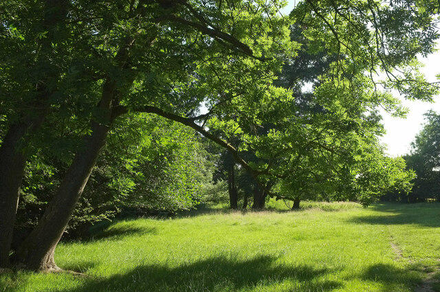
Image: © Derek Harper Taken: 14 Jul 2021
Another view of the triangular field shown in Image] - the brook is just to the left. The Geopark and Worcestershire Ways head to the right, while Malvern footpath 511(B) crosses the field ahead, meeting other paths as it does so. So many paths meet here, you'd bank on passing other walkers, and indeed I did pass a pair of snooty ladies who ignored my greeting.
Images are licensed for reuse under creativecommons.org/licenses/by-sa/2.0
Image Location
Latitude
52.132137
Longitude
-2.345023