Towards Bilting
Introduction
The photograph on this page of Towards Bilting by David M Clark as part of the Geograph project.
The Geograph project started in 2005 with the aim of publishing, organising and preserving representative images for every square kilometre of Great Britain, Ireland and the Isle of Man.

There are currently over 7.5m images from over 14,400 individuals and you can help contribute to the project by visiting https://www.geograph.org.uk
Towards Bilting
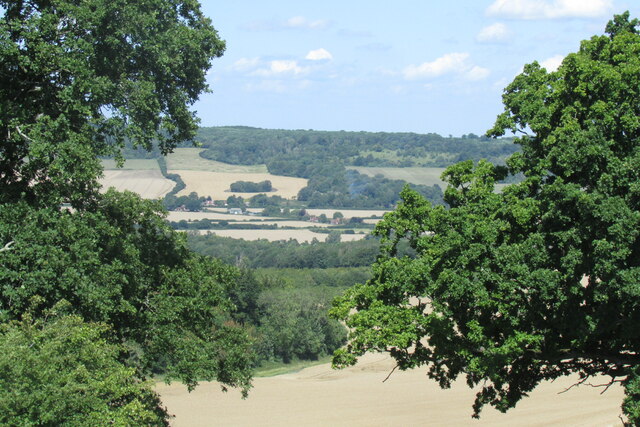
Image: © David M Clark Taken: 29 Jul 2019
Bilting forms a ribbon development along the busy A28 with King's Wood on the horizon - seen here from just off the North Downs Way close the Wye Crown.
Images are licensed for reuse under creativecommons.org/licenses/by-sa/2.0
Image Location
Latitude
51.202747
Longitude
0.938261