Penn Road near Blakenhall in Wolverhampton
Introduction
The photograph on this page of Penn Road near Blakenhall in Wolverhampton by Roger Kidd as part of the Geograph project.
The Geograph project started in 2005 with the aim of publishing, organising and preserving representative images for every square kilometre of Great Britain, Ireland and the Isle of Man.

There are currently over 7.5m images from over 14,400 individuals and you can help contribute to the project by visiting https://www.geograph.org.uk
Penn Road near Blakenhall in Wolverhampton
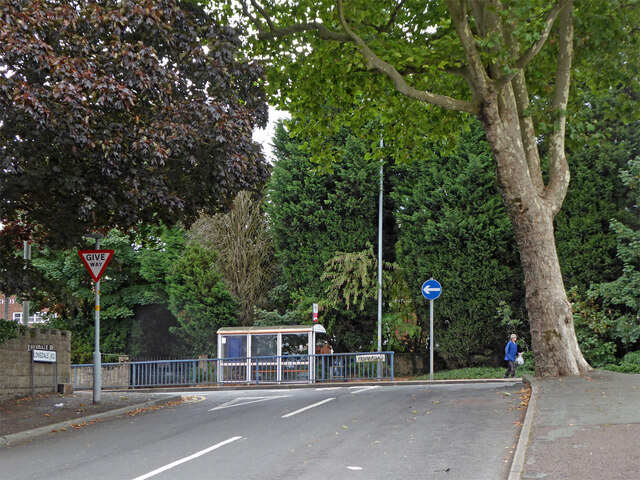
Image: © Roger Kidd Taken: 26 Aug 2022
The view of the A449 Penn Road is at the junction with Lonsdale Road. Currently the bus stop is for routes 64 (Penn), 15 (Kingswinford and Merry Hill) and 16 (Stourbridge) southbound. Transport authorities have tampered with routes quite often in recent years!
Images are licensed for reuse under creativecommons.org/licenses/by-sa/2.0
Image Location


Leaflet Map data © OpenStreetMap
Latitude
52.574249
Longitude
-2.137184