Footpath marker East of Low Keverstone
Introduction
The photograph on this page of Footpath marker East of Low Keverstone by DS Pugh as part of the Geograph project.
The Geograph project started in 2005 with the aim of publishing, organising and preserving representative images for every square kilometre of Great Britain, Ireland and the Isle of Man.

There are currently over 7.5m images from over 14,400 individuals and you can help contribute to the project by visiting https://www.geograph.org.uk
Footpath marker East of Low Keverstone
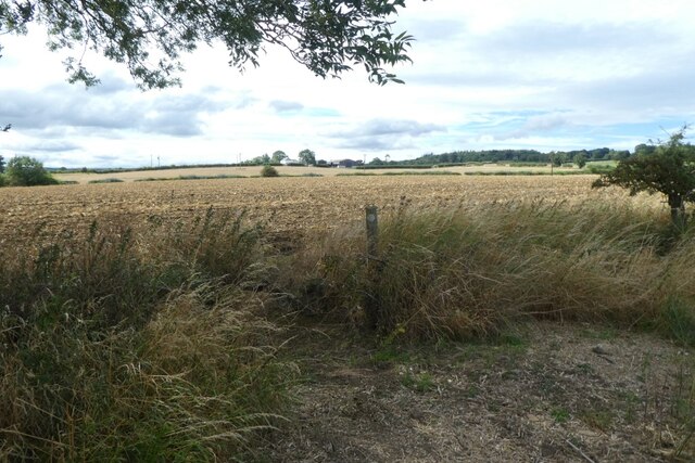
Image: © DS Pugh Taken: 24 Aug 2022
The footpath runs between the B6279 Staindrop to Ingleton road to Wackerfield.
Images are licensed for reuse under creativecommons.org/licenses/by-sa/2.0
Image Location
Latitude
54.594323
Longitude
-1.773237