South east side of Watling Street
Introduction
The photograph on this page of South east side of Watling Street by Robert Graham as part of the Geograph project.
The Geograph project started in 2005 with the aim of publishing, organising and preserving representative images for every square kilometre of Great Britain, Ireland and the Isle of Man.

There are currently over 7.5m images from over 14,400 individuals and you can help contribute to the project by visiting https://www.geograph.org.uk
South east side of Watling Street
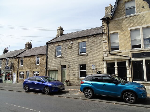
Image: © Robert Graham Taken: 11 Jul 2022
One of the old streets in the centre of the village of Corbridge. This one runs into the north side of the Market Place. Many of the houses are 18th and early 19th century, including those on the left here.
Images are licensed for reuse under creativecommons.org/licenses/by-sa/2.0
Image Location
Latitude
54.974931
Longitude
-2.020591