A circular walk from Barnard Castle [58]
Introduction
The photograph on this page of A circular walk from Barnard Castle [58] by Michael Dibb as part of the Geograph project.
The Geograph project started in 2005 with the aim of publishing, organising and preserving representative images for every square kilometre of Great Britain, Ireland and the Isle of Man.

There are currently over 7.5m images from over 14,400 individuals and you can help contribute to the project by visiting https://www.geograph.org.uk
A circular walk from Barnard Castle [58]
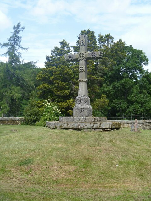
Image: © Michael Dibb Taken: 18 Jun 2022
In the private Catholic cemetery in the estate of Lartington Hall stands this cross, similar to the roadside cross seen at Image The estate of Lartington Hall is on the Register of Historic Parks and Gardens, grade II, and there is much history and detail at: https://historicengland.org.uk/listing/the-list/list-entry/1000731 After crossing the River Tees, the route follows Deepdale Beck for a short distance before branching northwest to Raygill and Osmond Flatt. Then further west on a bridleway before turning north on a footpath to Lartington. After passing through the village, there is a turn to the north at Lartington Hall, then the route heads southeast past Grotto Wood and Pecknell Wood to the west bank of the river Tees, where it joins the long distance Teesdale Way to return to Barnard Castle. Just under 5½ miles.
Images are licensed for reuse under creativecommons.org/licenses/by-sa/2.0
Image Location
Latitude
54.555708
Longitude
-1.969817