Outbuildings at Houndhill
Introduction
The photograph on this page of Outbuildings at Houndhill by Neil Theasby as part of the Geograph project.
The Geograph project started in 2005 with the aim of publishing, organising and preserving representative images for every square kilometre of Great Britain, Ireland and the Isle of Man.

There are currently over 7.5m images from over 14,400 individuals and you can help contribute to the project by visiting https://www.geograph.org.uk
Outbuildings at Houndhill
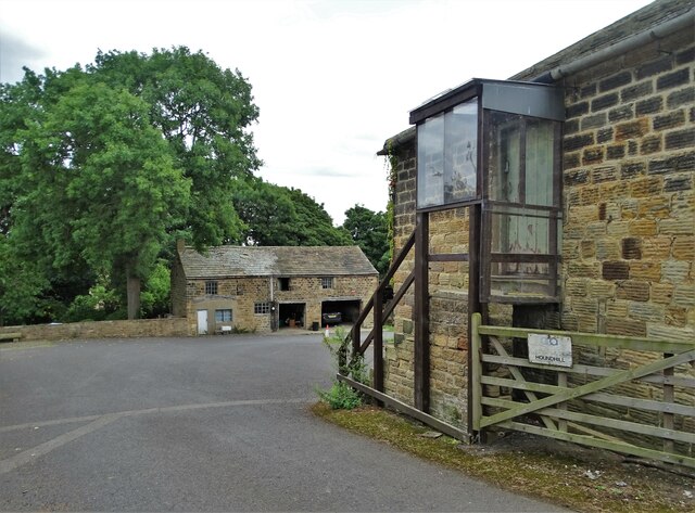
Image: © Neil Theasby Taken: 30 Aug 2022
Houndhill is a substantial Grade II listed Tudor farmhouse (part timber-framed) which dates from the late sixteenth century. Unfortunately, the house itself is not visible from Hound Hill Lane being set back from the road.
Images are licensed for reuse under creativecommons.org/licenses/by-sa/2.0
Image Location
Latitude
53.532569
Longitude
-1.492745