Geopark Way at Old Norrest
Introduction
The photograph on this page of Geopark Way at Old Norrest by Derek Harper as part of the Geograph project.
The Geograph project started in 2005 with the aim of publishing, organising and preserving representative images for every square kilometre of Great Britain, Ireland and the Isle of Man.

There are currently over 7.5m images from over 14,400 individuals and you can help contribute to the project by visiting https://www.geograph.org.uk
Geopark Way at Old Norrest
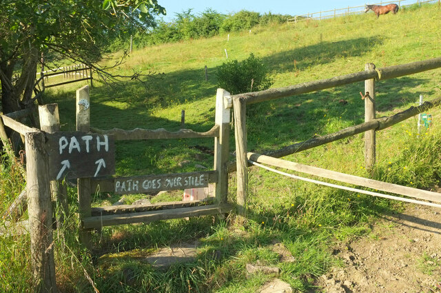
Image: © Derek Harper Taken: 14 Jul 2021
A reverse view of Image A damaged Geopark Way gives some semblance of authority to this route, the hand-painted directions over a stile lacking a cross-piece perhaps less so. This is Cradley footpath CD62.
Images are licensed for reuse under creativecommons.org/licenses/by-sa/2.0
Image Location


Leaflet Map data © OpenStreetMap
Latitude
52.148262
Longitude
-2.364585