Blocked Road in Hawkhurst
Introduction
The photograph on this page of Blocked Road in Hawkhurst by David Howard as part of the Geograph project.
The Geograph project started in 2005 with the aim of publishing, organising and preserving representative images for every square kilometre of Great Britain, Ireland and the Isle of Man.

There are currently over 7.5m images from over 14,400 individuals and you can help contribute to the project by visiting https://www.geograph.org.uk
Blocked Road in Hawkhurst
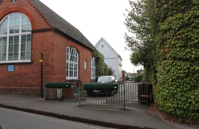
Image: © David Howard Taken: 28 Aug 2022
Northgrove Road at the junction of Cranbrook Road. Being right next to a major T junction I imagine emerging from this road would have been fairly dangerous when it was allowed. The building on the left is the infants school, which has long since become residential but has a plaque with its history.
Images are licensed for reuse under creativecommons.org/licenses/by-sa/2.0
Image Location
Latitude
51.047771
Longitude
0.510219