Stone Street, Crowfield
Introduction
The photograph on this page of Stone Street, Crowfield by Chris Holifield as part of the Geograph project.
The Geograph project started in 2005 with the aim of publishing, organising and preserving representative images for every square kilometre of Great Britain, Ireland and the Isle of Man.

There are currently over 7.5m images from over 14,400 individuals and you can help contribute to the project by visiting https://www.geograph.org.uk
Stone Street, Crowfield
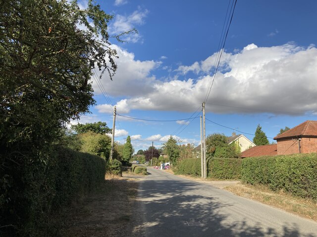
Image: © Chris Holifield Taken: 27 Aug 2022
The village of Crowfield lies mainly along the course of the old Roman Road which runs from Coddenham to Peasenhall: http://www.twithr.co.uk/suffolk/coddenham-peasenhall.htm
Images are licensed for reuse under creativecommons.org/licenses/by-sa/2.0
Image Location
Latitude
52.171643
Longitude
1.144623