Former Station House, Rayne
Introduction
The photograph on this page of Former Station House, Rayne by JThomas as part of the Geograph project.
The Geograph project started in 2005 with the aim of publishing, organising and preserving representative images for every square kilometre of Great Britain, Ireland and the Isle of Man.

There are currently over 7.5m images from over 14,400 individuals and you can help contribute to the project by visiting https://www.geograph.org.uk
Former Station House, Rayne
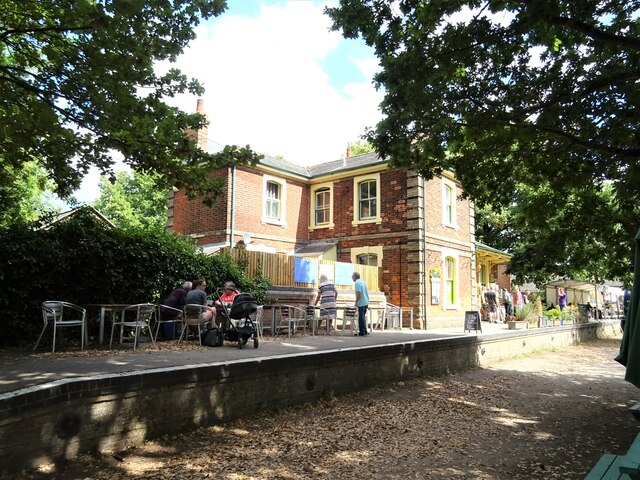
Image: © JThomas Taken: 24 Aug 2022
On the former line from Bishop's Stortford to Braintree which was closed by British Railways in the 1960s. Now a Visitor Centre for the Flitch Way country park. The line is now part of Now National Cycle Route 16.
Images are licensed for reuse under creativecommons.org/licenses/by-sa/2.0
Image Location
Latitude
51.873187
Longitude
0.506105