West Howe Retail Park
Introduction
The photograph on this page of West Howe Retail Park by Nigel Mykura as part of the Geograph project.
The Geograph project started in 2005 with the aim of publishing, organising and preserving representative images for every square kilometre of Great Britain, Ireland and the Isle of Man.

There are currently over 7.5m images from over 14,400 individuals and you can help contribute to the project by visiting https://www.geograph.org.uk
West Howe Retail Park
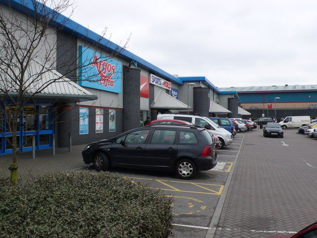
Image: © Nigel Mykura Taken: 16 Mar 2008
Although marked as an industrial estate on the mapsjust next to the A348 in Bournemouth, the buildings are all retailers such as Argos
Images are licensed for reuse under creativecommons.org/licenses/by-sa/2.0
Image Location


Leaflet Map data © OpenStreetMap
Latitude
50.757272
Longitude
-1.926228