Rowan Trees, Low Burnhall
Introduction
The photograph on this page of Rowan Trees, Low Burnhall by Des Blenkinsopp as part of the Geograph project.
The Geograph project started in 2005 with the aim of publishing, organising and preserving representative images for every square kilometre of Great Britain, Ireland and the Isle of Man.

There are currently over 7.5m images from over 14,400 individuals and you can help contribute to the project by visiting https://www.geograph.org.uk
Rowan Trees, Low Burnhall
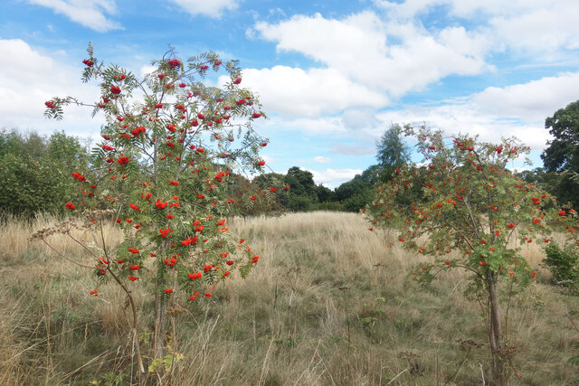
Image: © Des Blenkinsopp Taken: 24 Aug 2022
Low Burnhall is a fairly recently established bit of forest managed by the Woodland Trust.
Images are licensed for reuse under creativecommons.org/licenses/by-sa/2.0
Image Location
Latitude
54.750971
Longitude
-1.575986