The river Welland
Introduction
The photograph on this page of The river Welland by Bob Harvey as part of the Geograph project.
The Geograph project started in 2005 with the aim of publishing, organising and preserving representative images for every square kilometre of Great Britain, Ireland and the Isle of Man.

There are currently over 7.5m images from over 14,400 individuals and you can help contribute to the project by visiting https://www.geograph.org.uk
The river Welland
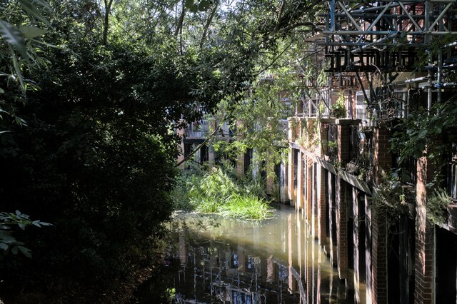
Image: © Bob Harvey Taken: 7 Aug 2022
Looking upstream from Image, the bridge over the river at Farndon Road. Although it has been a dry summer, and much of the river is close to dry, there is a pool formed here by a weir in the adjacent park.
Images are licensed for reuse under creativecommons.org/licenses/by-sa/2.0
Image Location
Latitude
52.475643
Longitude
-0.930487