Safire Restaurant & Grill
Introduction
The photograph on this page of Safire Restaurant & Grill by Gerald England as part of the Geograph project.
The Geograph project started in 2005 with the aim of publishing, organising and preserving representative images for every square kilometre of Great Britain, Ireland and the Isle of Man.

There are currently over 7.5m images from over 14,400 individuals and you can help contribute to the project by visiting https://www.geograph.org.uk
Safire Restaurant & Grill
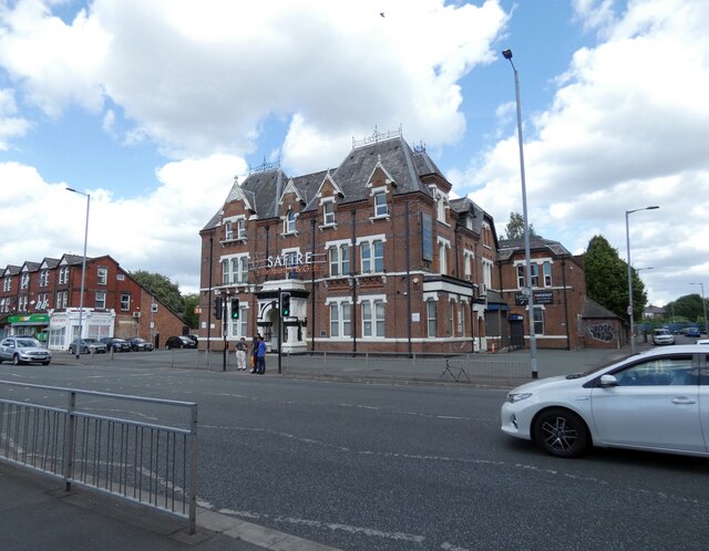
Image: © Gerald England Taken: 20 Aug 2022
On Upper Brook Street. Prior to 2017 it was a computer store called Micro Direct.
Images are licensed for reuse under creativecommons.org/licenses/by-sa/2.0
Image Location
Latitude
53.460363
Longitude
-2.221359