West Pasture
Introduction
The photograph on this page of West Pasture by Stephen Craven as part of the Geograph project.
The Geograph project started in 2005 with the aim of publishing, organising and preserving representative images for every square kilometre of Great Britain, Ireland and the Isle of Man.

There are currently over 7.5m images from over 14,400 individuals and you can help contribute to the project by visiting https://www.geograph.org.uk
West Pasture
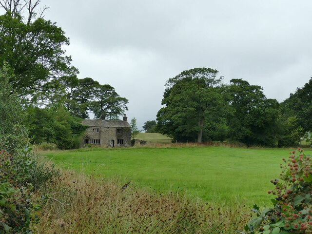
Image: © Stephen Craven Taken: 23 Aug 2022
The Pendle Way is supposed, according to the map, to run up this field and past the house. But there was no sign of a worn path on the ground, and most people had clearly taken a diversion to the west to reach Pasture Lane via the gate seen in Image
Images are licensed for reuse under creativecommons.org/licenses/by-sa/2.0
Image Location
Latitude
53.85808
Longitude
-2.226496