Fold, Gisburn Road, Higherford
Introduction
The photograph on this page of Fold, Gisburn Road, Higherford by Stephen Craven as part of the Geograph project.
The Geograph project started in 2005 with the aim of publishing, organising and preserving representative images for every square kilometre of Great Britain, Ireland and the Isle of Man.

There are currently over 7.5m images from over 14,400 individuals and you can help contribute to the project by visiting https://www.geograph.org.uk
Fold, Gisburn Road, Higherford
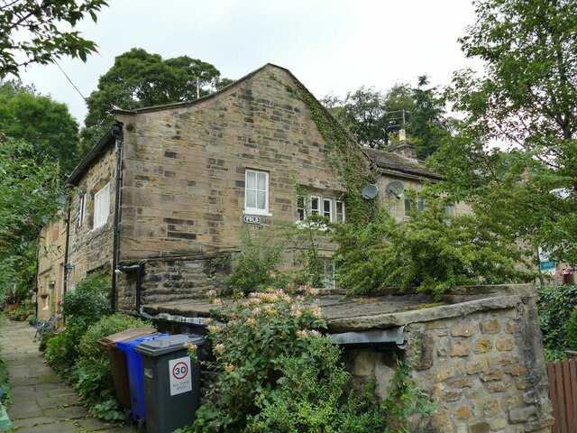
Image: © Stephen Craven Taken: 23 Aug 2022
Mid-18th century stone cottages, grade II listed (list entry 1073435).
Images are licensed for reuse under creativecommons.org/licenses/by-sa/2.0
Image Location
Latitude
53.856221
Longitude
-2.210979