Old mill, Gisburn Road, Higherford
Introduction
The photograph on this page of Old mill, Gisburn Road, Higherford by Stephen Craven as part of the Geograph project.
The Geograph project started in 2005 with the aim of publishing, organising and preserving representative images for every square kilometre of Great Britain, Ireland and the Isle of Man.

There are currently over 7.5m images from over 14,400 individuals and you can help contribute to the project by visiting https://www.geograph.org.uk
Old mill, Gisburn Road, Higherford
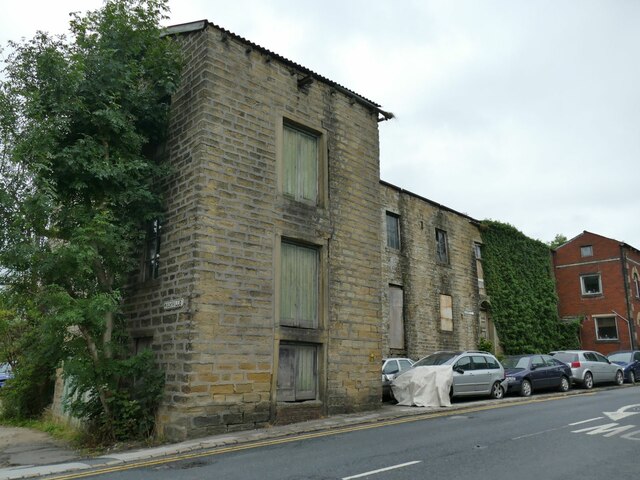
Image: © Stephen Craven Taken: 23 Aug 2022
The 1912 map shows this as a corn mill. It's probably too high above the river to have been water powered. Now in private hands, a 2015 proposal for 'brownfield' development on the site was not approved. Image shows it from the other direction.
Images are licensed for reuse under creativecommons.org/licenses/by-sa/2.0
Image Location
Latitude
53.857661
Longitude
-2.20977