Caulfield Road, Shoeburyness
Introduction
The photograph on this page of Caulfield Road, Shoeburyness by Stephen McKay as part of the Geograph project.
The Geograph project started in 2005 with the aim of publishing, organising and preserving representative images for every square kilometre of Great Britain, Ireland and the Isle of Man.

There are currently over 7.5m images from over 14,400 individuals and you can help contribute to the project by visiting https://www.geograph.org.uk
Caulfield Road, Shoeburyness
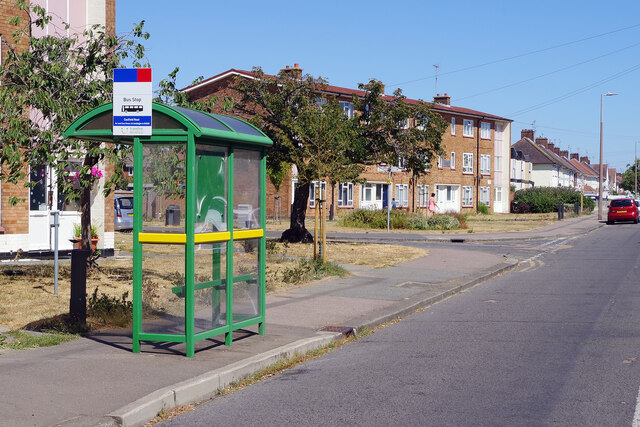
Image: © Stephen McKay Taken: 11 Aug 2022
The bus shelter here in the Southend suburbs is served by Arriva's routes 7 and 8 which link Rayleigh with North Shoebury and Great Wakering via the city centre. Blyth Avenue leads off to the left.
Images are licensed for reuse under creativecommons.org/licenses/by-sa/2.0
Image Location
Latitude
51.531124
Longitude
0.768447