Bridleway signpost in Kingswood, Staffordshire
Introduction
The photograph on this page of Bridleway signpost in Kingswood, Staffordshire by Roger Kidd as part of the Geograph project.
The Geograph project started in 2005 with the aim of publishing, organising and preserving representative images for every square kilometre of Great Britain, Ireland and the Isle of Man.

There are currently over 7.5m images from over 14,400 individuals and you can help contribute to the project by visiting https://www.geograph.org.uk
Bridleway signpost in Kingswood, Staffordshire
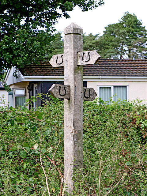
Image: © Roger Kidd Taken: 1 Aug 2022
Two bridleways cross the former Wrottesley estate, then cross each other here. Back and left to Wrottesley Lodge and Wrottesley Old Park. Forward and left to the A464 Shifnal Road. Back and right to The Bradshaws and Wrottesley Park. Forward and right to the A464 Shifnal Road. The Wrottesley Estate in Staffordshire existed from the 13th century but was sold off to its tenants in 1963. Wrottesley Park and Wrottesley Old Park remain as marked areas on many maps. Most of the land is used for wheat and barley with some oats, rape and potatoes. There are several small plantations of trees, and a larger one away to the west in (Patshull) High Park. Not all the farm roads and tracks in these parks have a public right of way.
Images are licensed for reuse under creativecommons.org/licenses/by-sa/2.0
Image Location
Latitude
52.617315
Longitude
-2.245289