Bridleway junction in Kingswood, Staffordshire
Introduction
The photograph on this page of Bridleway junction in Kingswood, Staffordshire by Roger Kidd as part of the Geograph project.
The Geograph project started in 2005 with the aim of publishing, organising and preserving representative images for every square kilometre of Great Britain, Ireland and the Isle of Man.

There are currently over 7.5m images from over 14,400 individuals and you can help contribute to the project by visiting https://www.geograph.org.uk
Bridleway junction in Kingswood, Staffordshire
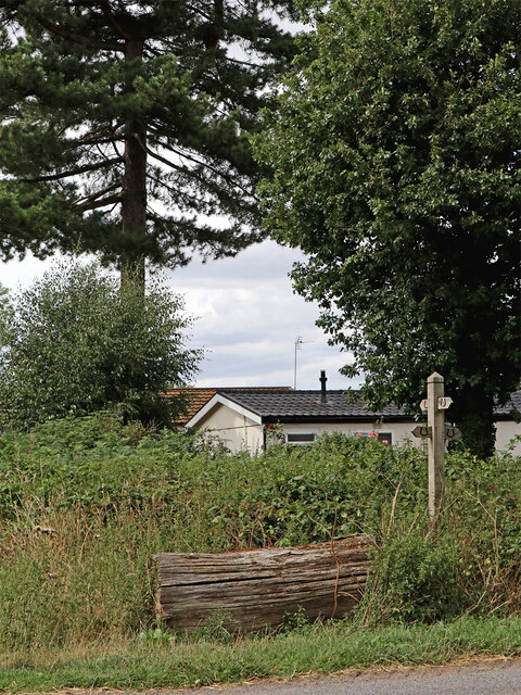
Image: © Roger Kidd Taken: 1 Aug 2022
The rather overgrown bridleway off to the left leads to the A464 Holyhead Road. Off to the right and better maintained, it leads south-eastwards towards The Bradshaws and Wrottesley Hall. Back and off to the left is the private farm road (also bridleway) to Wrottesley Lodge.
Images are licensed for reuse under creativecommons.org/licenses/by-sa/2.0
Image Location
Latitude
52.617405
Longitude
-2.245289