Pudsey Community Project
Introduction
The photograph on this page of Pudsey Community Project by Stephen Craven as part of the Geograph project.
The Geograph project started in 2005 with the aim of publishing, organising and preserving representative images for every square kilometre of Great Britain, Ireland and the Isle of Man.

There are currently over 7.5m images from over 14,400 individuals and you can help contribute to the project by visiting https://www.geograph.org.uk
Pudsey Community Project
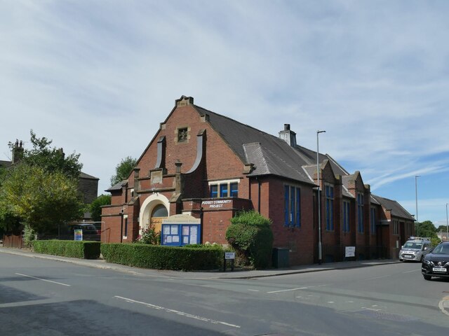
Image: © Stephen Craven Taken: 21 Aug 2022
Originally a Sunday School built in 1921, more recently used by Fartown Christian Fellowship Image but now in secular use.
Images are licensed for reuse under creativecommons.org/licenses/by-sa/2.0
Image Location
Latitude
53.788721
Longitude
-1.668769