Former Toll House, Teignbridge
Introduction
The photograph on this page of Former Toll House, Teignbridge by Milestone Society as part of the Geograph project.
The Geograph project started in 2005 with the aim of publishing, organising and preserving representative images for every square kilometre of Great Britain, Ireland and the Isle of Man.

There are currently over 7.5m images from over 14,400 individuals and you can help contribute to the project by visiting https://www.geograph.org.uk
Former Toll House, Teignbridge
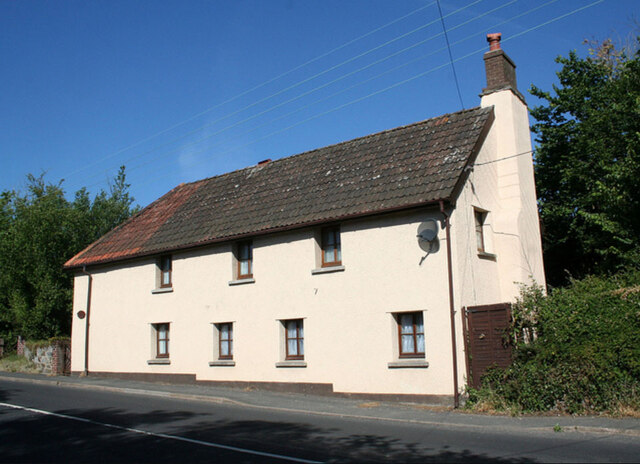
Image: © Milestone Society Taken: Unknown
Tollgate Cottage. On the NW side of the B3344 (ex A38), Plymouth Road, Chudleigh Knighton, TQ13 0EN.
Images are licensed for reuse under creativecommons.org/licenses/by-sa/2.0
Image Location
Latitude
50.587297
Longitude
-3.627002