Yellow strips on the A4230 Main Road, Cadoxton-juxta-Neath
Introduction
The photograph on this page of Yellow strips on the A4230 Main Road, Cadoxton-juxta-Neath by Jaggery as part of the Geograph project.
The Geograph project started in 2005 with the aim of publishing, organising and preserving representative images for every square kilometre of Great Britain, Ireland and the Isle of Man.

There are currently over 7.5m images from over 14,400 individuals and you can help contribute to the project by visiting https://www.geograph.org.uk
Yellow strips on the A4230 Main Road, Cadoxton-juxta-Neath
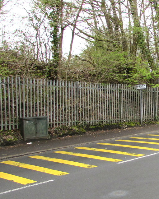
Image: © Jaggery Taken: 3 May 2016
An A4230 sign is on the right. The fence is below a railway embankment.
Images are licensed for reuse under creativecommons.org/licenses/by-sa/2.0
Image Location


Leaflet Map data © OpenStreetMap
Latitude
51.677723
Longitude
-3.784543