Pink blossom, Cadoxton-juxta-Neath
Introduction
The photograph on this page of Pink blossom, Cadoxton-juxta-Neath by Jaggery as part of the Geograph project.
The Geograph project started in 2005 with the aim of publishing, organising and preserving representative images for every square kilometre of Great Britain, Ireland and the Isle of Man.

There are currently over 7.5m images from over 14,400 individuals and you can help contribute to the project by visiting https://www.geograph.org.uk
Pink blossom, Cadoxton-juxta-Neath
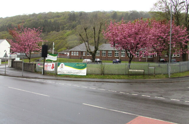
Image: © Jaggery Taken: 3 May 2016
At the edge of Llangatwg Community School viewed across the A4230 Main Road in May 2016.
Images are licensed for reuse under creativecommons.org/licenses/by-sa/2.0
Image Location


Leaflet Map data © OpenStreetMap
Latitude
51.677706
Longitude
-3.7857