Follifoot, Aketon Lodge
Introduction
The photograph on this page of Follifoot, Aketon Lodge by Mel Towler as part of the Geograph project.
The Geograph project started in 2005 with the aim of publishing, organising and preserving representative images for every square kilometre of Great Britain, Ireland and the Isle of Man.

There are currently over 7.5m images from over 14,400 individuals and you can help contribute to the project by visiting https://www.geograph.org.uk
Follifoot, Aketon Lodge
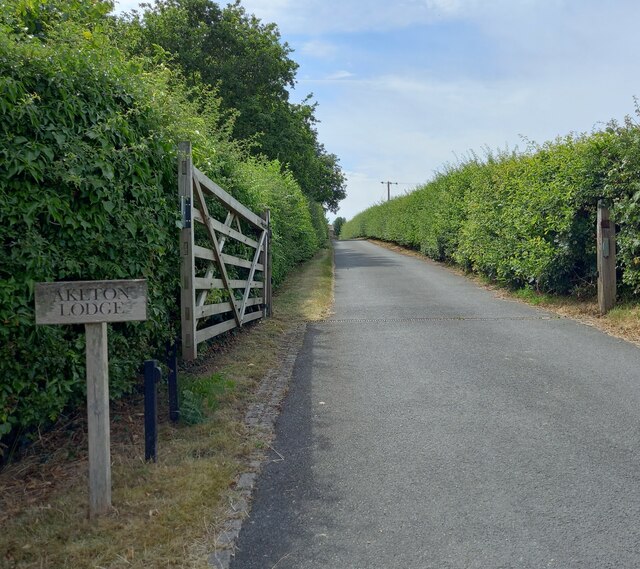
Image: © Mel Towler Taken: 17 Jul 2022
According to the OS benchmark database there is a benchmark cut on the north-west face of a barn at Aketon Lodge. The property has a long drive and high hedges which prevents any views. It is unknown if the benchmark still survives.
Images are licensed for reuse under creativecommons.org/licenses/by-sa/2.0
Image Location
Latitude
53.964258
Longitude
-1.469383