St Mary's Church. Parham
Introduction
The photograph on this page of St Mary's Church. Parham by Trevor Harris as part of the Geograph project.
The Geograph project started in 2005 with the aim of publishing, organising and preserving representative images for every square kilometre of Great Britain, Ireland and the Isle of Man.

There are currently over 7.5m images from over 14,400 individuals and you can help contribute to the project by visiting https://www.geograph.org.uk
St Mary's Church. Parham
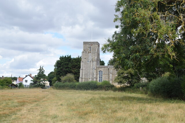
Image: © Trevor Harris Taken: 20 Aug 2022
With Church Cottage to the left. Taken from close to the end of the path running between Moat Hall Farm and Parham.
Images are licensed for reuse under creativecommons.org/licenses/by-sa/2.0
Image Location
Latitude
52.194435
Longitude
1.377326