Ramsholt, Suffolk
Introduction
The photograph on this page of Ramsholt, Suffolk by John Winfield as part of the Geograph project.
The Geograph project started in 2005 with the aim of publishing, organising and preserving representative images for every square kilometre of Great Britain, Ireland and the Isle of Man.

There are currently over 7.5m images from over 14,400 individuals and you can help contribute to the project by visiting https://www.geograph.org.uk
Ramsholt, Suffolk
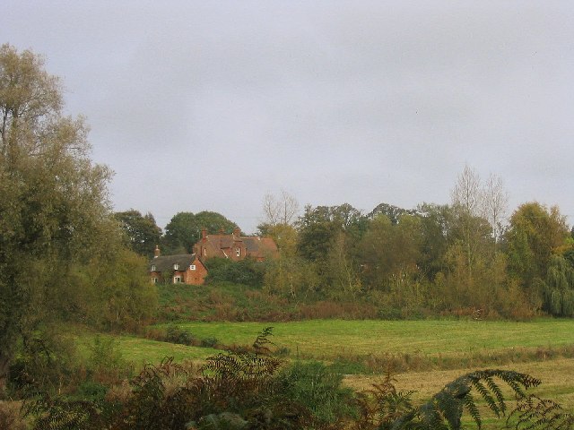
Image: © John Winfield Taken: 29 Oct 2005
This hamlet consists of a few houses and farms. The large building in the centre is the old schoolhouse, which indicates that in the past, this was a much large settlement.
Images are licensed for reuse under creativecommons.org/licenses/by-sa/2.0
Image Location
Latitude
52.025542
Longitude
1.367201