Diversion ends at crossroads near Pakenham
Introduction
The photograph on this page of Diversion ends at crossroads near Pakenham by Robin Webster as part of the Geograph project.
The Geograph project started in 2005 with the aim of publishing, organising and preserving representative images for every square kilometre of Great Britain, Ireland and the Isle of Man.

There are currently over 7.5m images from over 14,400 individuals and you can help contribute to the project by visiting https://www.geograph.org.uk
Diversion ends at crossroads near Pakenham
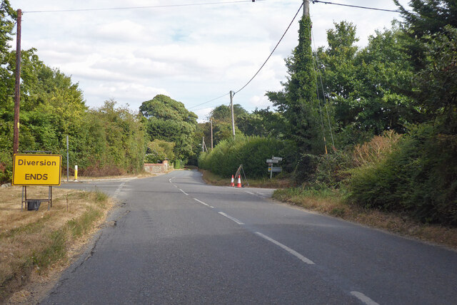
Image: © Robin Webster Taken: 21 Aug 2022
Right and left is an old Roman route, but right was temporarily closed north from Thurston for some reason.
Images are licensed for reuse under creativecommons.org/licenses/by-sa/2.0
Image Location
Latitude
52.271794
Longitude
0.814971