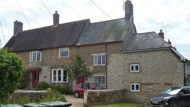
West Knighton village [5]
Introduction
The photograph on this page of West Knighton village [5] by Michael Dibb as part of the Geograph project.
The Geograph project started in 2005 with the aim of publishing, organising and preserving representative images for every square kilometre of Great Britain, Ireland and the Isle of Man.
There are currently over 7.5m images from over 14,400 individuals and you can help contribute to the project by visiting https://www.geograph.org.uk

Image: © Michael Dibb Taken: 3 Jun 2022
Higher Lewell Farmhouse was originally built in the 17th century, but largely rebuilt in the 1760s. The house was extended in the mid 19th century and some outbuildings added at the same time. Constructed of squared rubble walls with brick to much of the ground floor and all the first floor under a tile roof. The attached stables and cart are in brick under slate roofs. Listed, grade II, with details at: https://historicengland.org.uk/listing/the-list/list-entry/1304031 West Knighton is a village in Dorset, some 3 miles (4.8 km) southeast of Dorchester. There is evidence of settlement from the Stone Age onwards. An agricultural village until the mid 20th century, most working residents now commute to Dorchester.

