Drakes Heath street sign, Lowestoft
Introduction
The photograph on this page of Drakes Heath street sign, Lowestoft by Adrian S Pye as part of the Geograph project.
The Geograph project started in 2005 with the aim of publishing, organising and preserving representative images for every square kilometre of Great Britain, Ireland and the Isle of Man.

There are currently over 7.5m images from over 14,400 individuals and you can help contribute to the project by visiting https://www.geograph.org.uk
Drakes Heath street sign, Lowestoft
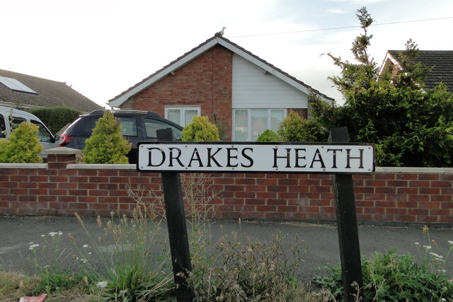
Image: © Adrian S Pye Taken: 21 Aug 2022
Drakes Heath is an ancient name for the Heathland which once covered the land north to Normanston from Lake Lothing as shown on the 1618 map of Lowestoft.
Images are licensed for reuse under creativecommons.org/licenses/by-sa/2.0
Image Location
Latitude
52.481506
Longitude
1.733249