Rerrick churchyard
Introduction
The photograph on this page of Rerrick churchyard by Gordon Hatton as part of the Geograph project.
The Geograph project started in 2005 with the aim of publishing, organising and preserving representative images for every square kilometre of Great Britain, Ireland and the Isle of Man.

There are currently over 7.5m images from over 14,400 individuals and you can help contribute to the project by visiting https://www.geograph.org.uk
Rerrick churchyard
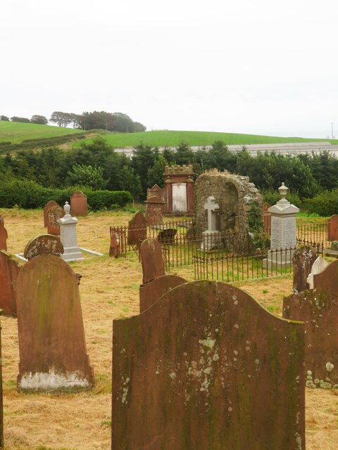
Image: © Gordon Hatton Taken: 18 Aug 2022
The rough stone arch in the centre of the graveyard is presumably the slight remains of the old church, which may have been medieval, but was demolished in 1865.
Images are licensed for reuse under creativecommons.org/licenses/by-sa/2.0
Image Location
Latitude
54.800065
Longitude
-3.930618