Aiskew, Aiskew Level Crossing
Introduction
The photograph on this page of Aiskew, Aiskew Level Crossing by Mel Towler as part of the Geograph project.
The Geograph project started in 2005 with the aim of publishing, organising and preserving representative images for every square kilometre of Great Britain, Ireland and the Isle of Man.

There are currently over 7.5m images from over 14,400 individuals and you can help contribute to the project by visiting https://www.geograph.org.uk
Aiskew, Aiskew Level Crossing
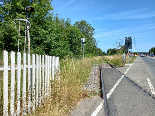
Image: © Mel Towler Taken: 16 Jul 2022
According to the OS benchmark database the signal box at this crossing which was on the north side of the road had a benchmark cut into south-west face. The signal box has gone. In its place is a very small portacabin with no benchmark on the structure.
Images are licensed for reuse under creativecommons.org/licenses/by-sa/2.0
Image Location
Latitude
54.298729
Longitude
-1.570655