Stone Stile Sw5432a
Introduction
The photograph on this page of Stone Stile Sw5432a by Linda King as part of the Geograph project.
The Geograph project started in 2005 with the aim of publishing, organising and preserving representative images for every square kilometre of Great Britain, Ireland and the Isle of Man.

There are currently over 7.5m images from over 14,400 individuals and you can help contribute to the project by visiting https://www.geograph.org.uk
Stone Stile Sw5432a
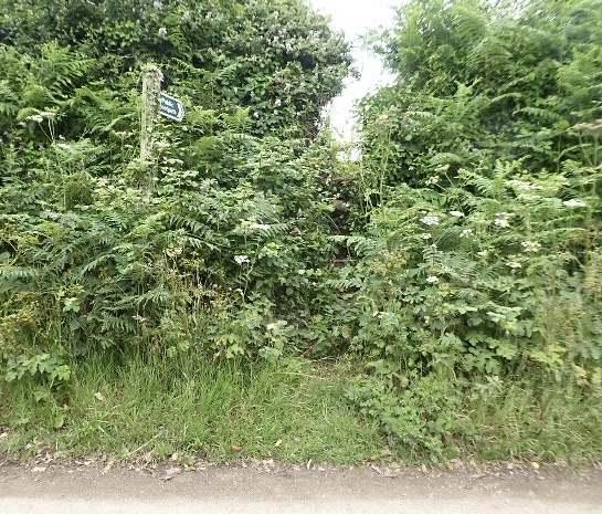
Image: © Linda King Taken: 8 Jul 2021
At south end of a field path to the west of Penberthy Cross. Overhead electricity cables and pylon nearby. : Four steps on south side, (road), including top one. One step on north (field) side. There may be a fifth step on the south side but at the time of the report there was a lot of weed overgrowth. Public footpath 112/50/1 silver running north to south, west of Penberthy Cross
Images are licensed for reuse under creativecommons.org/licenses/by-sa/2.0
Image Location
Latitude
50.143649
Longitude
-5.430716