Field, Whitman's Hill Farm
Introduction
The photograph on this page of Field, Whitman's Hill Farm by Derek Harper as part of the Geograph project.
The Geograph project started in 2005 with the aim of publishing, organising and preserving representative images for every square kilometre of Great Britain, Ireland and the Isle of Man.

There are currently over 7.5m images from over 14,400 individuals and you can help contribute to the project by visiting https://www.geograph.org.uk
Field, Whitman's Hill Farm
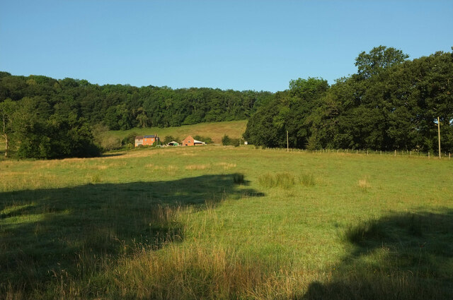
Image: © Derek Harper Taken: 14 Jul 2021
Similar to Image], From the B4219, with Whitman's Hill Coppice behind the farm. Cradley footpath CD42 runs along the side of the wood on the right.
Images are licensed for reuse under creativecommons.org/licenses/by-sa/2.0
Image Location
Latitude
52.132624
Longitude
-2.362704