View eastwards across rough grazing towards forestland at Ffedogad y Gawres
Introduction
The photograph on this page of View eastwards across rough grazing towards forestland at Ffedogad y Gawres by Eric Jones as part of the Geograph project.
The Geograph project started in 2005 with the aim of publishing, organising and preserving representative images for every square kilometre of Great Britain, Ireland and the Isle of Man.

There are currently over 7.5m images from over 14,400 individuals and you can help contribute to the project by visiting https://www.geograph.org.uk
View eastwards across rough grazing towards forestland at Ffedogad y Gawres
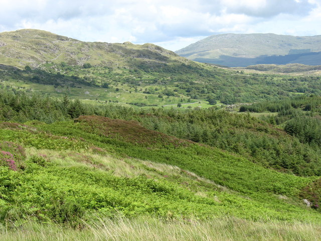
Image: © Eric Jones Taken: 18 Jul 2007
Ffedogad y Gawres means "apron of the female giant". The hill in the background (left) is Moel Cors-y-garnedd, with the Aran on the right.
Images are licensed for reuse under creativecommons.org/licenses/by-sa/2.0
Image Location
Latitude
52.794134
Longitude
-3.841032