RAF Cottesmore in the Distance
Introduction
The photograph on this page of RAF Cottesmore in the Distance by Stephen Armstrong as part of the Geograph project.
The Geograph project started in 2005 with the aim of publishing, organising and preserving representative images for every square kilometre of Great Britain, Ireland and the Isle of Man.

There are currently over 7.5m images from over 14,400 individuals and you can help contribute to the project by visiting https://www.geograph.org.uk
RAF Cottesmore in the Distance
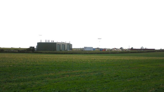
Image: © Stephen Armstrong Taken: 4 Oct 2009
A 2009, zoomed in view from the Thistleton Lane / Park Lane junction. In 2012 the site was taken over by The Army and renamed Kendrew Barracks.
Images are licensed for reuse under creativecommons.org/licenses/by-sa/2.0
Image Location


Leaflet Map data © OpenStreetMap
Latitude
52.734387
Longitude
-0.641285