The Coach House, Cold Harbour
Introduction
The photograph on this page of The Coach House, Cold Harbour by Tim Heaton as part of the Geograph project.
The Geograph project started in 2005 with the aim of publishing, organising and preserving representative images for every square kilometre of Great Britain, Ireland and the Isle of Man.

There are currently over 7.5m images from over 14,400 individuals and you can help contribute to the project by visiting https://www.geograph.org.uk
The Coach House, Cold Harbour
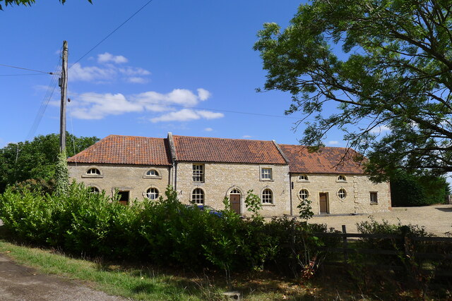
Image: © Tim Heaton Taken: 19 Aug 2022
Listed Grade II, mid 18th century "Stable Block at Cold Harbour Farm" https://historicengland.org.uk/listing/the-list/list-entry/1109941?section=official-list-entry . What establishment did this coach house/stables serve? Did it serve the neighbouring inn? Image
Images are licensed for reuse under creativecommons.org/licenses/by-sa/2.0
Image Location


Leaflet Map data © OpenStreetMap
Latitude
52.901874
Longitude
-0.587434