Green Lane, Redcar
Introduction
The photograph on this page of Green Lane, Redcar by Luke Jones as part of the Geograph project.
The Geograph project started in 2005 with the aim of publishing, organising and preserving representative images for every square kilometre of Great Britain, Ireland and the Isle of Man.

There are currently over 7.5m images from over 14,400 individuals and you can help contribute to the project by visiting https://www.geograph.org.uk
Green Lane, Redcar
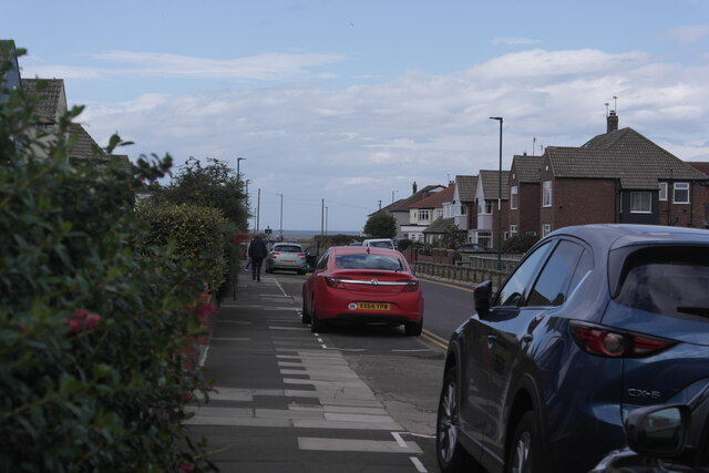
Image: © Luke Jones Taken: 5 Aug 2022
Green Lane in Redcar. Just to the left is Mackinlay Park, where the Redcar Rugby Union Football club is located. Ahead of the main subject is the A1085, and the North Sea.
Images are licensed for reuse under creativecommons.org/licenses/by-sa/2.0
Image Location
Latitude
54.604803
Longitude
-1.040909