Path, Busby
Introduction
The photograph on this page of Path, Busby by Richard Webb as part of the Geograph project.
The Geograph project started in 2005 with the aim of publishing, organising and preserving representative images for every square kilometre of Great Britain, Ireland and the Isle of Man.

There are currently over 7.5m images from over 14,400 individuals and you can help contribute to the project by visiting https://www.geograph.org.uk
Path, Busby
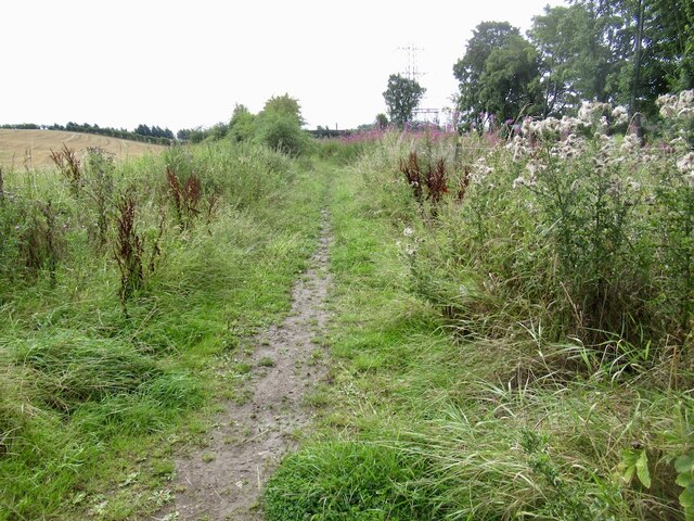
Image: © Richard Webb Taken: 17 Aug 2022
There seems to be no East Renfrewshire core paths map, but the Naturescot map suggests that this is a through route to Thorntonhall. Well I did get through but I would not recommend the experience. An all too common occurrence around here and the first of three dud paths today.
Images are licensed for reuse under creativecommons.org/licenses/by-sa/2.0
Image Location
Latitude
55.775313
Longitude
-4.26175