Pill Box Lane, Barkisland
Introduction
The photograph on this page of Pill Box Lane, Barkisland by Humphrey Bolton as part of the Geograph project.
The Geograph project started in 2005 with the aim of publishing, organising and preserving representative images for every square kilometre of Great Britain, Ireland and the Isle of Man.

There are currently over 7.5m images from over 14,400 individuals and you can help contribute to the project by visiting https://www.geograph.org.uk
Pill Box Lane, Barkisland
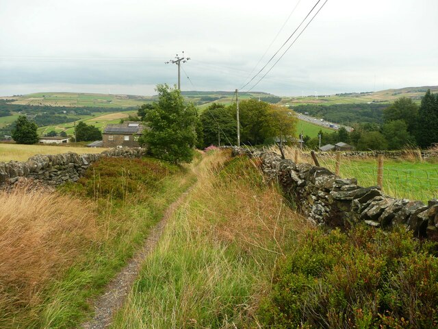
Image: © Humphrey Bolton Taken: 18 Aug 2022
This is Footpath 110/2. It is not named on the old 1:2500 map, Perhaps there was a wartime pill box, but there is no sign of one now.
Images are licensed for reuse under creativecommons.org/licenses/by-sa/2.0
Image Location


Leaflet Map data © OpenStreetMap
Latitude
53.649482
Longitude
-1.929313